You want to convert a GPX file, but your GPS app only exports GPX. So this guide shows how to convert a GPX file to KML, Shapefile or CSV. It is free. Also, it runs in your browser, so nothing is uploaded.
GPX is the open format that GPS devices use. It holds three things. First, waypoints, which are single points. Second, routes, which are planned lines. Third, tracks, which are recorded lines. So one file can carry all of them.
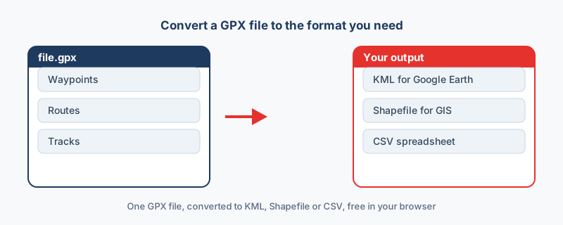
GPX is great for GPS units. However, other tools expect other formats. For example, Google Earth wants KML. Desktop GIS wants a shapefile. A spreadsheet wants CSV. So you convert a GPX file to match the next tool.
KML is the Google Earth format. So pick GPX to KML to view your route on the globe. Waypoints become placemarks. Tracks become paths. Then you can share the map by email.
Desktop GIS prefers shapefiles. So pick GPX to Shapefile for QGIS or ArcGIS. The download is a .zip, because a shapefile is several files. Also, remember that a shapefile holds one geometry type, so points and lines may split.
Sometimes you just want the coordinates. So pick GPX to CSV. Each point becomes a row, with latitude and longitude columns. Then you can open it in Excel or Google Sheets.
Many converters drop the waypoints and keep only the track. That loses data. However, a good converter exports all of it. So check the output. You should see the waypoints, the route and the track together.
GPX is always WGS84 longitude and latitude. So KML and GeoJSON match it directly. However, a shapefile can use any system. Therefore, set the coordinate system if you need one before you export. GPX follows the open GPX schema.
GPS tracks can be personal. For example, they may show your home or your daily run. So uploading them to a server is a real concern. Instead, this tool runs locally. As a result, your GPX file never leaves your device. In short, you can convert a GPX file safely and for free.
Drop the .gpx into a GPX converter, choose KML as the output, then download the file and open it in Google Earth. Waypoints become placemarks and tracks become paths. A browser-based tool does this without uploading your data.
Yes. Choose Shapefile as the output and you get a .zip containing the .shp, .dbf, .shx and .prj. Because a shapefile holds one geometry type, waypoints and tracks may be delivered as separate layers.
It should. Some converters keep only the track, but a good one exports waypoints, routes and tracks together. Check the output and confirm all three are present.
GPX always stores coordinates in WGS84 longitude and latitude. KML and GeoJSON use the same system, so no reprojection is needed. For a shapefile you can assign or reproject to another system if required.
It depends on the tool. Many upload your file to a server, which is risky for personal tracks. A browser-based converter processes the GPX locally, so the file never leaves your device.