A spreadsheet of points is quick to build, but hard to see. So this guide shows how to convert Excel to KMZ for Google Earth. It is free, and it runs in your browser, so your data is never uploaded. In a few minutes, your rows become placemarks on the globe.
Google Earth cannot open an .xlsx file. It needs KML or KMZ instead. So to see your spreadsheet on the globe, you first convert Excel to KMZ. A KMZ is simply a zipped KML, which makes it smaller and easier to share. Because of that, it is the format Google Earth exports by default.
The payoff is immediate. Each row that has a latitude and a longitude becomes a placemark. Then you can fly to it, click it, and read its details. In short, a flat table turns into a map you can explore.
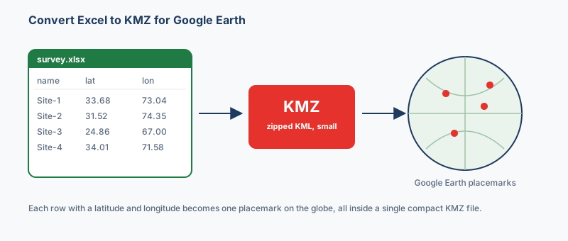
Before you convert Excel to KMZ, check for two columns. One holds latitude. The other holds longitude. They can be named lat and lon, or latitude and longitude, or even y and x. So the common names are detected for you. Any extra columns, such as a name or a note, become the placemark's description.
Coordinates should be in decimal degrees, like 33.6844 and 73.0479. If your sheet holds degrees, minutes and seconds instead, convert them first. The coordinate converter does that in seconds. For the difference between the formats, see latitude and longitude formats.
A name column is optional, but it helps a lot. Then each placemark shows a clear label in Google Earth, rather than a plain marker. So a column called name or title is worth adding before you start.
The steps are short, and nothing leaves your computer. Here is the whole process:
That is the whole job. Because the work happens in the browser, it stays fast even on large sheets.
Both open in Google Earth, so the choice is really about size and editing. A KMZ is compressed, which makes it smaller and neater to email. A KML is plain text, which makes it easy to edit by hand. Therefore, if you want to tweak the file later, pick Excel to KML instead. Otherwise, KMZ is the tidy default. For a fuller comparison, see KML vs KMZ.
Most issues trace back to the coordinates. These are the ones that come up most often:
Need the reverse trip? You can also convert KMZ back to Excel to pull placemark data into a spreadsheet. And to view your file first, Google Earth for web opens a KMZ straight from the browser.
“Excel to KMZ is the office-worker path into Google Earth: a sheet of coordinates in, a single double-click file out, and nothing uploaded on the way.”
Open the Excel to KMZ converter, drop in your .xlsx file, confirm the latitude and longitude columns, then choose KMZ and click Convert. It is free, needs no signup, and runs entirely in your browser, so the file is never uploaded.
No. Google Earth reads KML and KMZ, not .xlsx. You need to convert Excel to KMZ (or KML) first, and then each row of coordinates becomes a placemark you can open on the globe.
A KMZ is a zipped KML, so it is smaller and easier to email, while a KML is plain text that is easy to edit by hand. Both open in Google Earth, so pick KMZ for sharing and KML for editing.
Almost always the latitude and longitude columns are swapped, or the coordinates are not in decimal degrees. Check the column pickers before converting, and convert any degrees-minutes-seconds values to decimal degrees first.